In recent history, the most destructive bushfires were in 2009 in Victoria. They took 173 lives and destroyed over 2000 homes. Over the last 200 years, an estimated 800 lives have been lost to the fires.
According to Wikipedia, “Bushfires in Australia are a widespread and regular occurrence that has contributed significantly to molding the nature of the continent over millions of years.” A large part of the Australian mainland is desert, and as you move east, the temperature tends to drop due to the presence of mountainous regions. However, during the summers, the hot and dry weather makes it easy for fires to start. The local ecology has adapted to these fires and many species of plants have evolved to rely on these bushfires for reproduction.
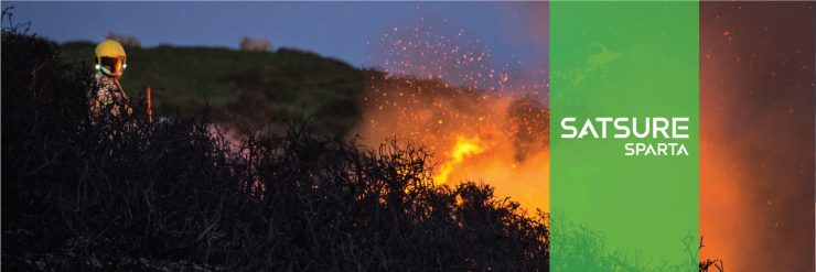
However, the summer of 2019 was unusually hot. There has been an increase of over 1 degree Celsius in the average temperatures of Australia in the last century. This has caused an increase in the number of heatwaves and droughts on the continent. This year the temperatures reached as high as 40° Celsius and gave rise to monstrous fires that have burned more than 18.6 million hectares and killed more than a billion animals. The fire left a long smoke trail that stretched thousands of kilometers and was easily visible from space.
Australia Wildfires 2019–2020: An Analysis
The analysis tries to estimate the spread of emissions from the bushfires using the Carbon Monoxide band of the Copernicus Sentinel 5P. The analysis has been done for the months of June, December, and January.
Google Earth Engine has been used to visualize and analyse the data. The blue color in the analysis represents a low concentration of atmospheric CO and the red color represents high concentrations. New South Wales and Sydney experienced the first fires in the month of September.
A single lightning bolt in October started a fire in the Gospers Mountain in New South Wales destroying around 444,000 Ha of the forest.
Australian Government has come up with Fire Danger Rating (FDR). The FDR is based on the forecast weather conditions which gives advice about the level of bushfire threat on a particular day.
These ratings are forecast using Bureau of Meteorology data for up to four days in advance, based on weather and other environmental conditions such as fuel load. When the rating is high, the threat of bushfire increases. (https://www.emergency.wa.gov.au/#legend)
By November, the “catastrophic fire danger” was declared in Greater Sydney and other areas. This was for the first time it has been declared since the introduction of such a scale in 2009. Bushfire seasons are commonly grouped into years such as “2019–2020 Australian bushfire season”.
June 1, 2019 — June 7, 2019
These are typically applied to the season for southern and eastern Australia; from 1 June to 31 May annually.
The above image represents the condition on 1st June 2019, before the onset of the bushfire season. As can be seen in the image, the region is covered in shades of blue, indicating a low concentration of carbon monoxide across the continent.
By the end of December, fires had already been raging and spreading for a few months, which can be seen by the concentration of CO in the South-Eastern and Northern part of the continent.
Over the next few weeks, the fires engulf more parts of the country in the Western and the Southern regions which is highlighted by the end of December images.
As per reports, by the end of December, smoke from the fires had spread to New Zealand. The whole southern island of New Zealand was covered in a blanket of smoke and by January, the smoke had covered the entire northern island.
During this period, the air quality in Canberra had reached 7700 microns, 39 times the hazardous level. Temperatures in parts of New South Wales rose to around 49° Celsius.
By the second week of January, the fires in Australia had killed more than 2 dozen people and a billion animals. As per reports, the consequences of the fire were visible even in South America, where people could see an orange haze far on the horizon.
The smoke had reached all the way to areas of Chile, Argentina, Uruguay, and Brazil, by the end of January 2020, 11,000 km away from where the fires originated.
Understanding the Impact
According to NASA estimates, 306 million tonnes of CO2 have been emitted by the fires. In comparison, the total emissions of Australia in 2018 was 535 million tonnes. Usually, the carbon emitted by the seasonal bushfires would be reabsorbed by forests. However, due to the sheer scale of the recent fires, this process would take decades or might not ever happen if the drought situation continues.
The devastating nature of the fires this year is a wake-up call for everyone about the drastic effect human-led climate change has and how we can no longer continue to exploit our planet without any consequences.
The effects of climate change are far and wide, precautionary measures and technology replacements need to be adopted across the globe to control climate change for the benefit of humanity and billions of other species who call this planet home.
[Written by Arpit Kubadia, Former Software Developer (SDE-2), SatSure. The story was originally published on our Medium.]