The commercialization of the downstream sector in the last decade has helped expand the applications of satellite remote sensing beyond Government projects and defense applications. Today, with a wide range ofmore
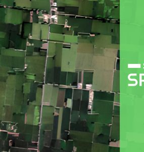
The commercialization of the downstream sector in the last decade has helped expand the applications of satellite remote sensing beyond Government projects and defense applications. Today, with a wide range ofmore
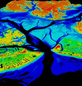
LiDAR, an optical remote sensing technology, using ultraviolet, visible, or infrared light to measure the distance to or other properties of the object with reflected laser light.
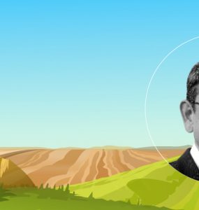
In an conversation with SatSure, Arul Mehra, Partner at Baring PE India talks about investment trends in the deeptech sector.
Introduction Arindom Datta, Executive Director and Head of Rural & Development Banking/Advisory, Rabobank, has been working for Rabobank for the last 14 years and has over 28 years of experience in Rural Financemore
Regrid, a leading property data and location intelligence firm in the US, faced a significant challenge with incomplete parcel details from county sources. SatSure, with its advanced machine learning algorithms, trainedmore
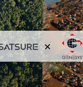
Mumbai, October 30, 2024 – Genesys International, an advanced mapping company at the forefront of creating the New India map stack, today announced a groundbreaking partnership with SatSure, a leading Indian company inmore

In an conversation with SatSure, Mangesh Niranjan Patankar sheds light on technological advances in the agricultural insurance market
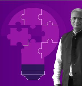
Dr. Praveen Rao Velchala talks about the role of PJTSAU in aiding agricultural innovations.
In the face of increasing challenges within the agricultural sector, strategic alliances are becoming increasingly crucial. The collaboration between SatSure and the Solvent Extractors’ Association of India (SEA)more

India is facing a water crisis in more ways than one but satellite-based intelligence can help policymakers to make better decisions.