In the second episode of the Space Jam series, the panelists talk about the evolution of geospatial industry.
Latest articles
Satellite Earth Observation: An Industry in Transformation
In the first episode of the Space Jam series, the panelists shed light on the aspects of satellite EO industry and its evolution.
Improving Loan Recoveries and Resolutions for a Private Sector Bank in India
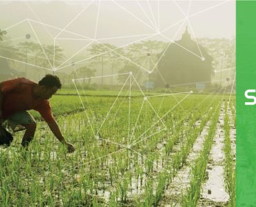
SatSure is handling close 95% of the rural lending portfolio for the client

A Peek into the Financial Services and Indian AgTech Market: Interview with Emmanuel Murray
Speaking with SatSure, Emmanuel Murray talks about technological disruption in the rural financing sector and agritech in India.

Investing in a Deep Tech Sector: A Private Equity Perspective
In an conversation with SatSure, Arul Mehra, Partner at Baring PE India talks about investment trends in the deeptech sector.

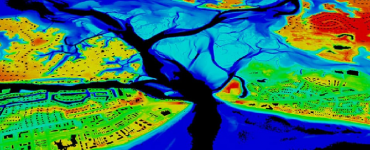
Watershed Generation, Management and Monitoring
A watershed is an area of land that drains all the streams and rainfall to a common outlet.